Project Details
Past
Duration
Jan 01, 2023
– Jan 31, 2024
Client
USAID-Tayar Nepal, DAI
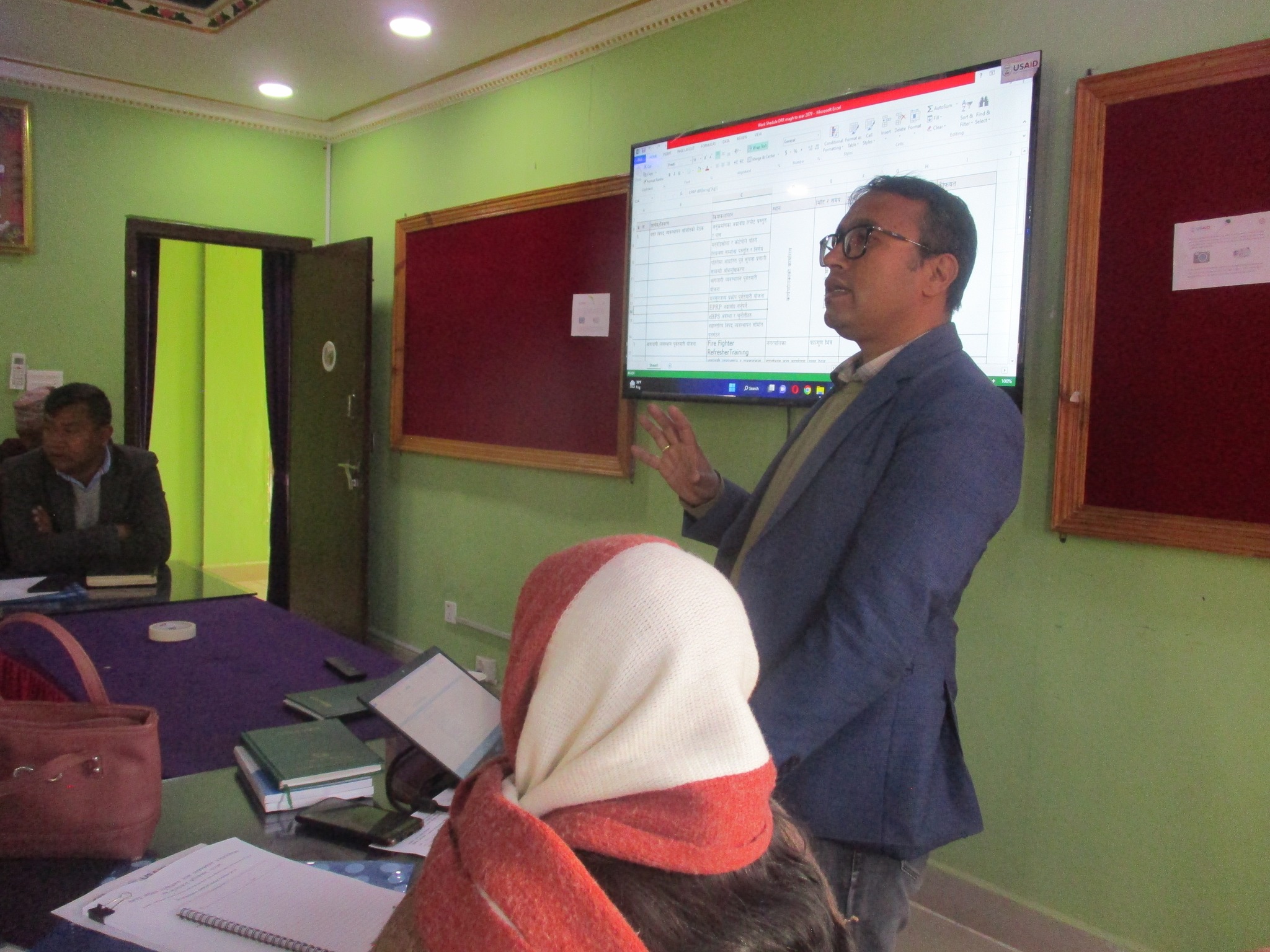
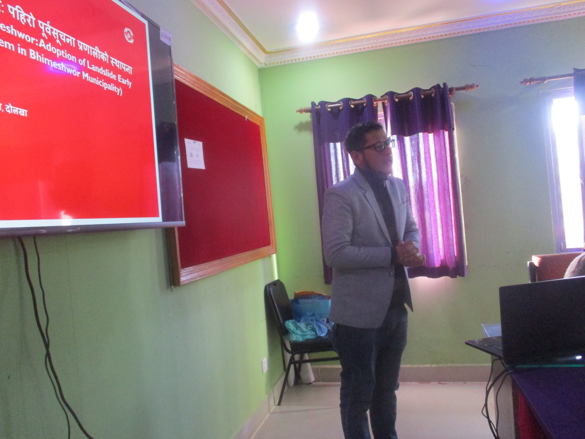
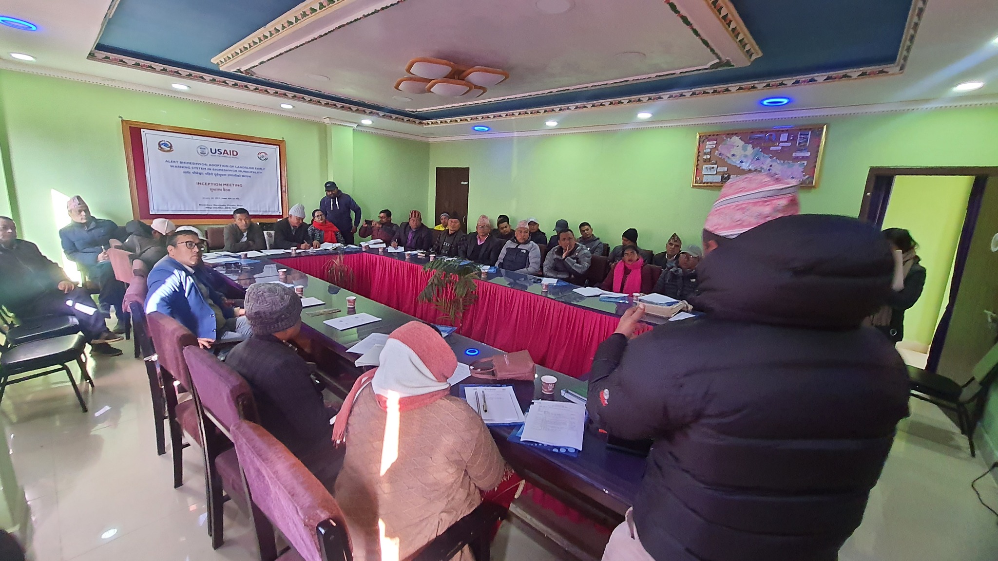
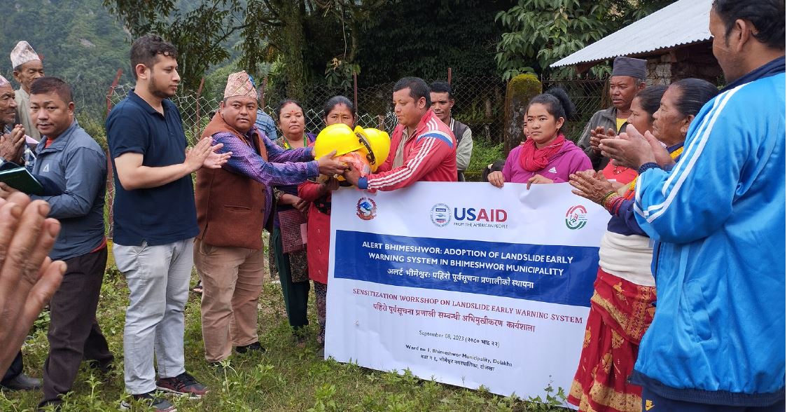
Location
Bhimeshwor Municipality, Dolakha
Province
Bagmati
Project Images
5 photos
Project Detail
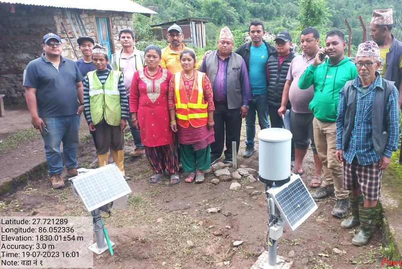
Efforts were made to increase the landslide preparedness through landscape assessments, map revisions, and data integration. Alongside, initiatives to establish monitoring mechanisms and fortify the Early Warning System aim to mitigate risks effectively, ensuring community safety in vulnerable areas.
Key tasks performed in this project are:
- Assessment of the susceptible landscape and Integration of Forecast information (Preparatory Workshop, Revision of Landslide Susceptibility Maps (LSM), Integration of Forecast and Recorded Observation/information from DHM, Capacitating LEOC and LDMC).
- Identification and Selection of Sub-Catchment for the instrumentation and Installation of the LEWS (Identification and Selection of Sub-Catchment, Formation of LEWS User Committee (LUC) and Capacity Building, Field Survey, Instrumentation and Installation, Model Calibration and Visualization of Outputs.
- Establishment of Community Based Landslide Monitoring Mechanism for a specific landslide (Sensitization to LEWS user committee (LUC), Implementation of Landslide monitoring mechanism (Moving Peg Method).
Strengthening Four Pillars of LEWS and its Finalization (Development of Municipal Level Triggers for the Landslide Alerts, Preparation of Standard Operating Procedures (SOP), Simulation Drills, And Local Sharing Workshop.