Project Details
Past
Duration
Jan 12, 2023
– Mar 01, 2023
Client
Oxfam in Nepal
Location
Patan and Dasrathchand Municipality, Baitadi
Province
Sudurpashchim
Project Images
4 photos
Project Detail
Patan and Dashrathchand municipalities prioritized landslide risk management with a multi-faceted approach: mapping susceptibility, installing telemetric rainfall stations, developing a mobile app for alerts, and training 200 participants on disaster preparedness. These efforts aimed to enhance community resilience and early warning systems against landslides.
Key tasks performed in this project are:
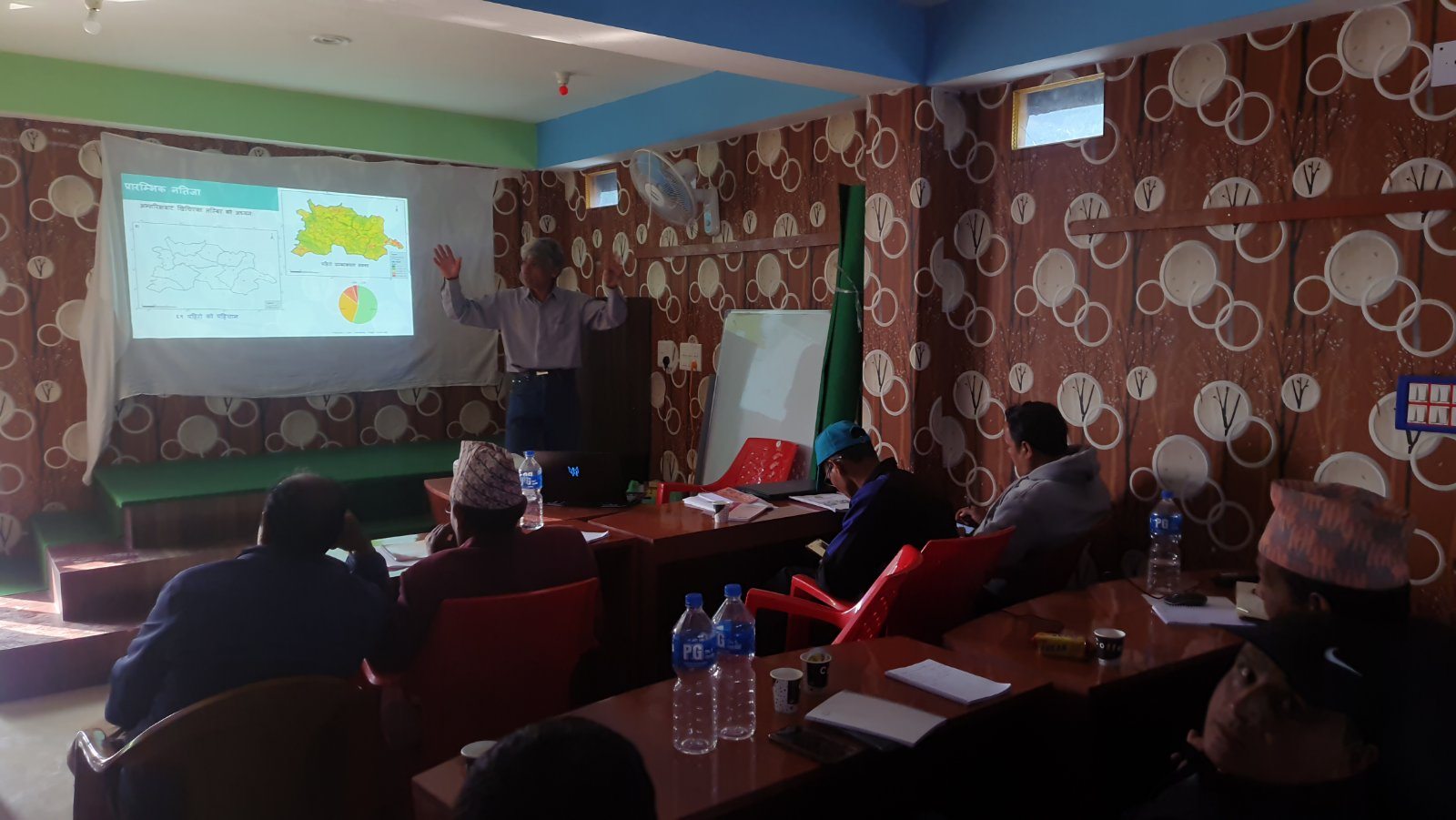
- Prepared landslide susceptibility map of Patan and Dashrathchand municipalities including the Ward Level Maps.
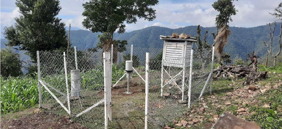
- Identified appropriate location for installing telemetric rainfall station; Installed Automatic Raingauge station (Index No. 115) at Dainsili, Baitadi.
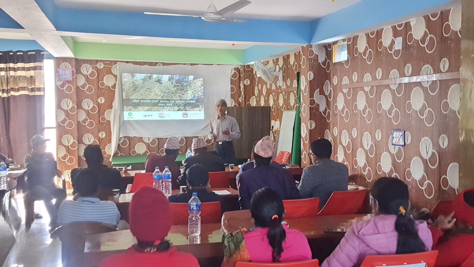
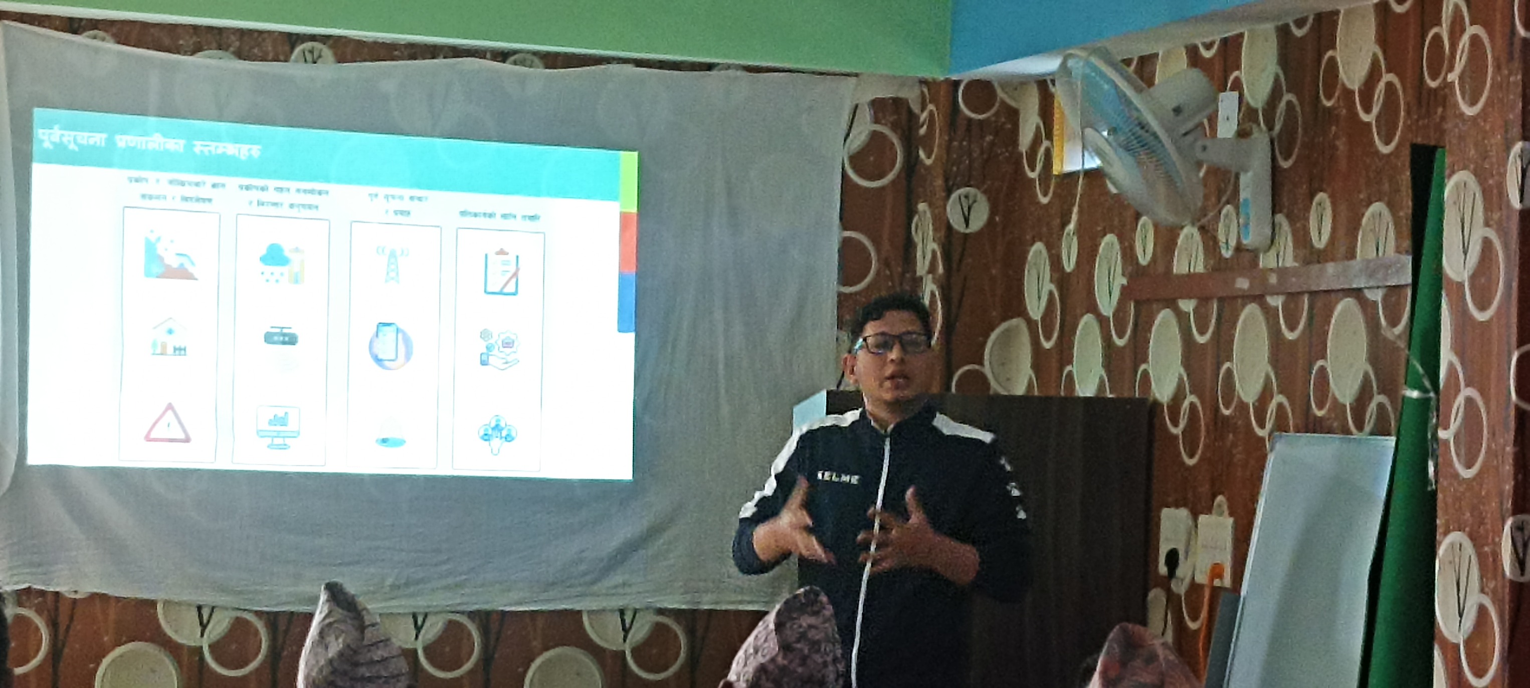
- Developed landslide alert mobile application linking with the telemetric station and DHM nearby stations through using latest technologies.
- Trained almost 200 participants from the local communities, humanitarian actors and local government representatives on DRR, focusing on landslide