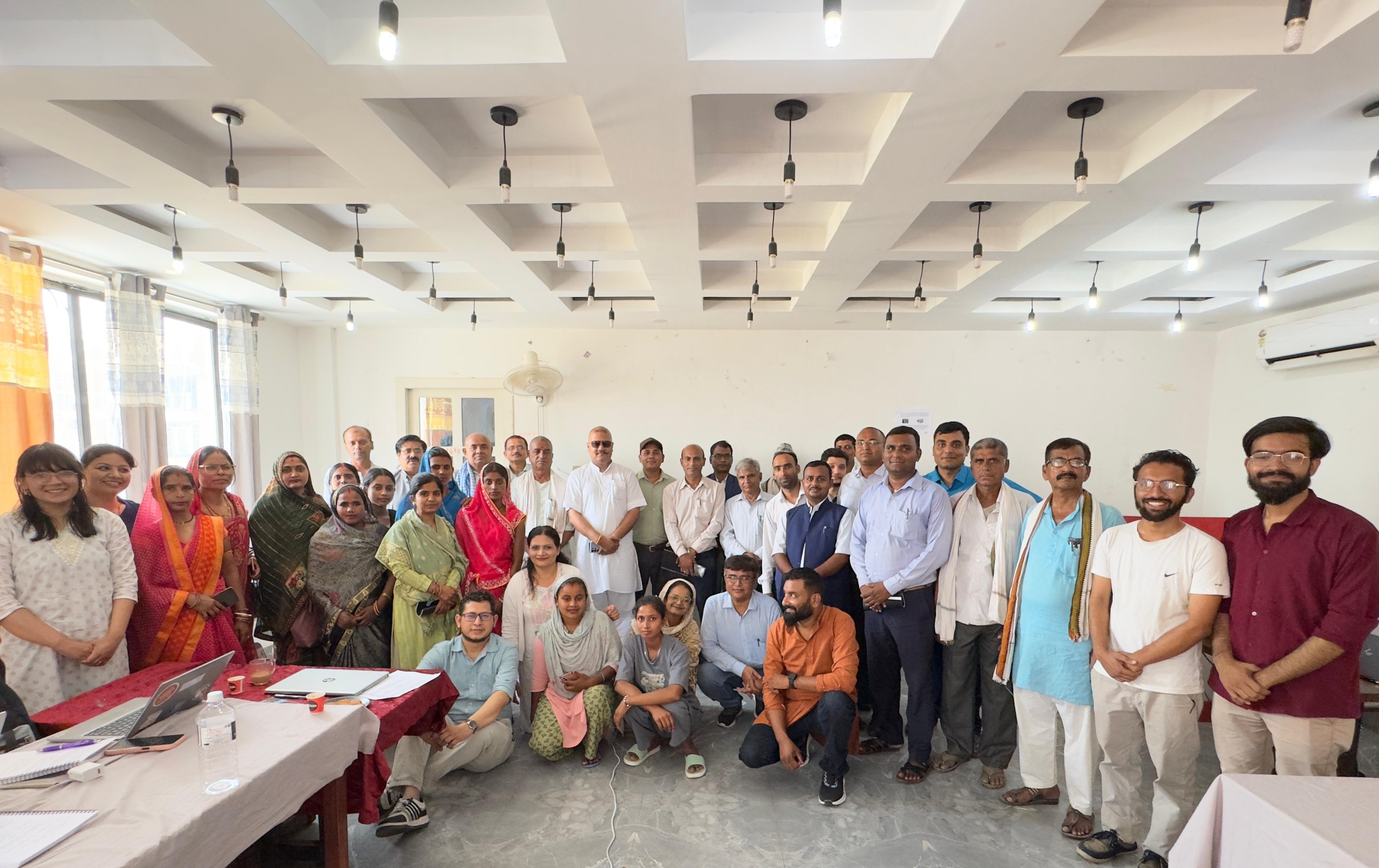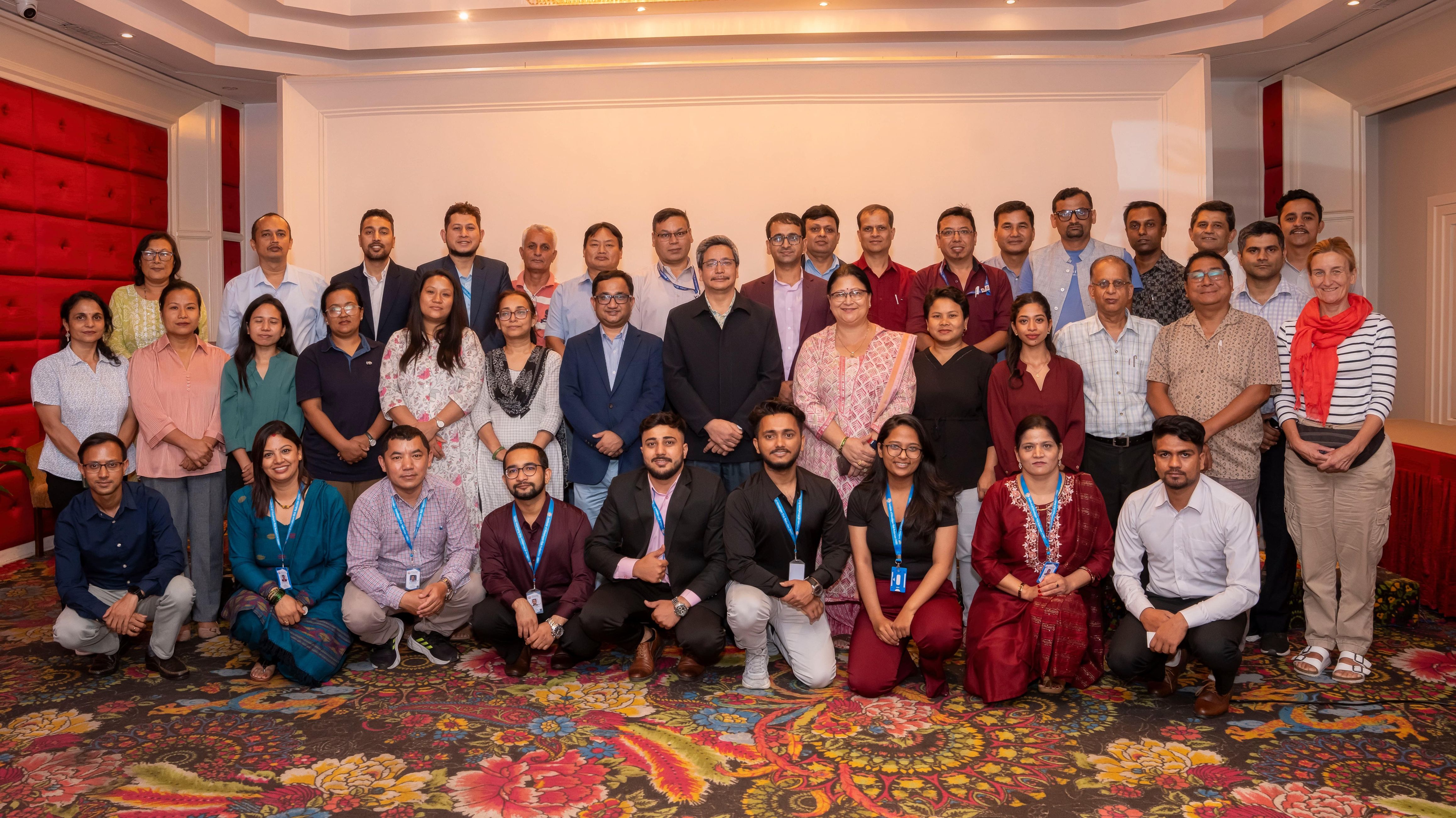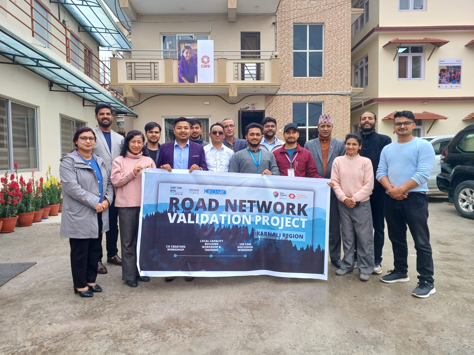

On March 28, 2024, the NEPAL Road Network Validation Project: Karnali Region Co-Creation Planning Workshop took place at the CARE Nepal Office in Lalitpur which was organized by Start Fund Nepal (SFN), the Open Mapping Hub-Asia Pacific (AP Hub), and KIRDARC, the workshop focused on enhancing road mapping initiatives and bolstering community resilience in the Karnali region. The event brought together experts and stakeholders to explore the current state of road networks, discuss the challenges faced in mapping, and co-create solutions for improved infrastructure planning in Karnali Province. The workshop aimed to deepen participants' understanding of the Road Network Validation Project, the importance of maps and open mapping, and the current status of geospatial data in priority districts. It also focused on identifying data gaps, generating a list of prioritized map data for field collection, and providing recommendations to improve project planning.
Participants and Activities
The workshop attracted participants from various organizations, each bringing unique expertise to the table. Representatives from Start Fund Nepal, KIRDARC, Forewarn, NSET, NAXA, and the World Food Programme (WFP) contributed to the discussions and shared their experiences in road mapping and community engagement.
The workshop kicked off with opening remarks and introductions, where each participant briefly presented their organization’s role in the project. This was followed by detailed presentations from key project partners. KIRDARC's representative highlighted the organization's mission to upgrade the road network in Karnali, particularly in Humla, which remains unconnected to the broader road network. The discussion emphasized the poor state of social indicators and the Human Development Index (HDI) in the region, underscoring the critical need for infrastructure development.
NSET’s presentation provided insights into their ongoing projects, while KIRDARC’s presentation focused on their OpenStreetMap (OSM) initiatives. They pointed out significant issues with the existing OSM data for the Karnali region, including outdated information, poor verification and validation, and a lack of data quality assurance mechanisms. The challenges of local knowledge, cultural barriers, and difficult topography were also discussed as major hurdles in mapping efforts.
Gaurav Prajuli provided an introduction to OpenStreetMap, offering participants a deeper understanding of the platform and its potential uses in the region. Mr. Upendra Oli from NAXA shared his experiences with OSM mapping initiatives, particularly in trail mapping in Humla. He highlighted the importance of gap analysis, technical training, and the involvement of local communities in ensuring the success and sustainability of mapping projects.
WFP’s Biplop Rakhel further stressed the importance of spatial data and community involvement in mapping efforts. He shared the challenges faced in mapping trails and community infrastructure and emphasized the need for collaboration with local governments to empower communities and ensure project sustainability.
Group Exercise and Learnings
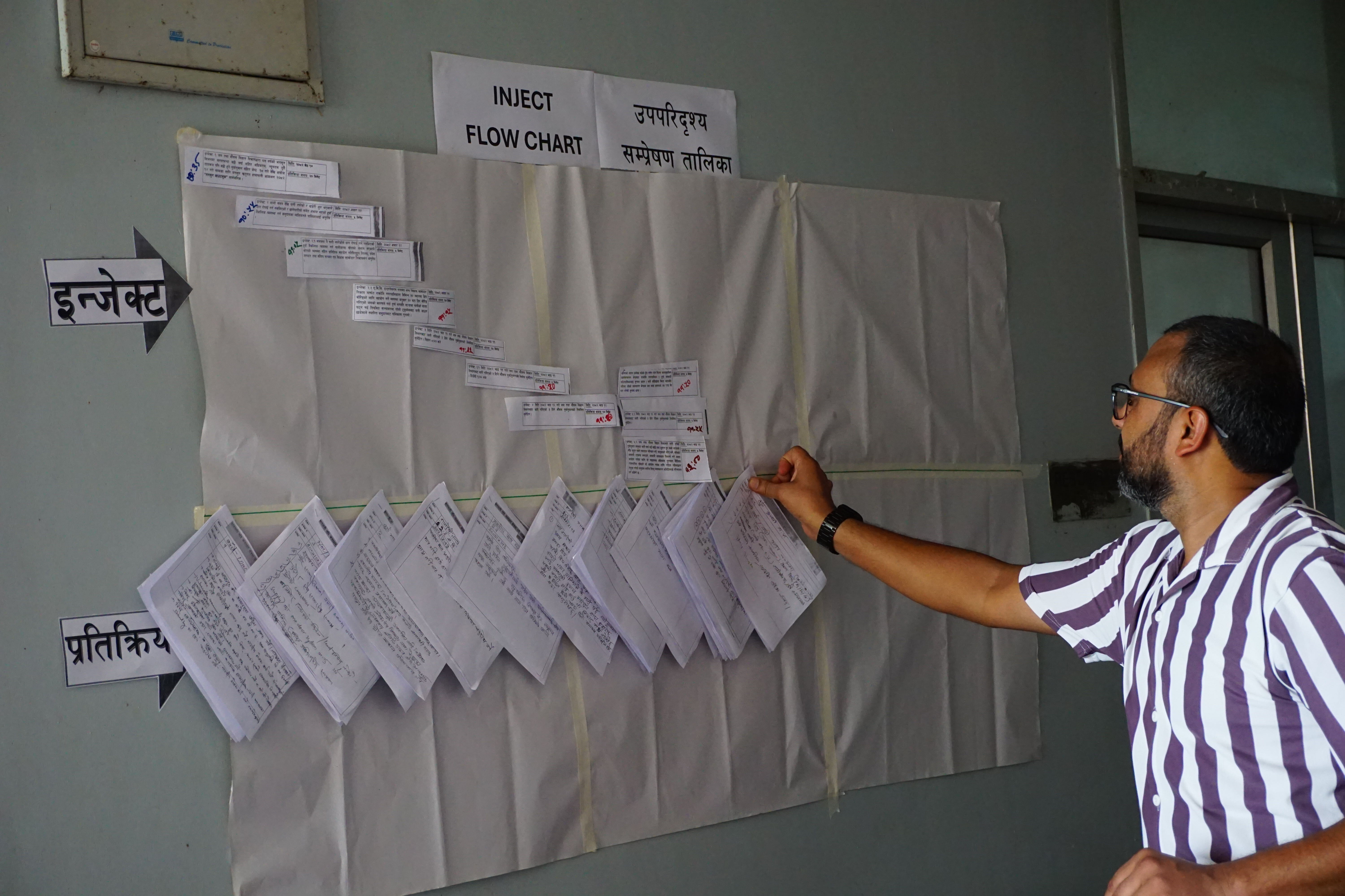
A key component of the workshop was the group exercise, where participants were divided into teams to document data availability, requirements, types of data, data issues, and use cases. This interactive session fostered collaboration and discussion, resulting in a comprehensive understanding of the region’s data landscape. Participants identified critical data needs, including updated satellite imagery, building data, health infrastructure information, and recent land use data. They also highlighted issues such as data duplication, lack of attribute data, and the need for regular updates to base maps.
The exercise underscored the importance of data sharing, collaboration, and raising awareness about spatial data. Participants agreed on the need to encourage volunteer involvement and to develop mechanisms for verifying and validating data to ensure its accuracy and reliability.
Conclusion
The NEPAL Road Network Validation Project workshop successfully brought together key stakeholders to address the challenges and opportunities in road mapping in Karnali. The event provided a platform for sharing experiences, discussing data needs, and co-creating solutions to improve infrastructure planning in the region. The insights gained from the workshop will inform future efforts to enhance road mapping initiatives, ensuring that they are more inclusive, accurate, and aligned with the needs of the local communities. As the project moves forward, the collaboration and recommendations from this workshop will play a crucial role in shaping the road network development in Karnali, ultimately contributing to the region’s resilience and sustainable development.