
INTRODUCTION
Institute of Himalayan Risk Reduction (IHRR) in collaboration with S4W-Nepal and supported by ADPC led the VICTORY Mapathon, a critical initiative under the VICTORY project, focused on mapping key features in the Bhimeshwor Municipality of Dolakha District and Barbardiya Municipality of Bardiya District. This effort was not just about adding features to the map but was also about significantly contributing to disaster risk preparedness and early warning systems.
The Mapathon aimed to fill gaps in mapping buildings, roads, bridges, rivers, and open spaces like parks, meadows, and forests by capturing these unmapped features, we aimed to improve the data quality of these areas, which is essential for anticipatory action and disaster management. The data produced during this event will play a crucial role in informing early warning systems and helping communities to prepare for potential disasters.
TRAINING AND MAPATHON
The Victory mapathon attracted a diverse group of 77 registrants, with a balanced mix of experienced mappers and beginners. Participants from various sectors, including education, NGOs, and the private industry, came together to dive into the world of OpenStreetMap (OSM).
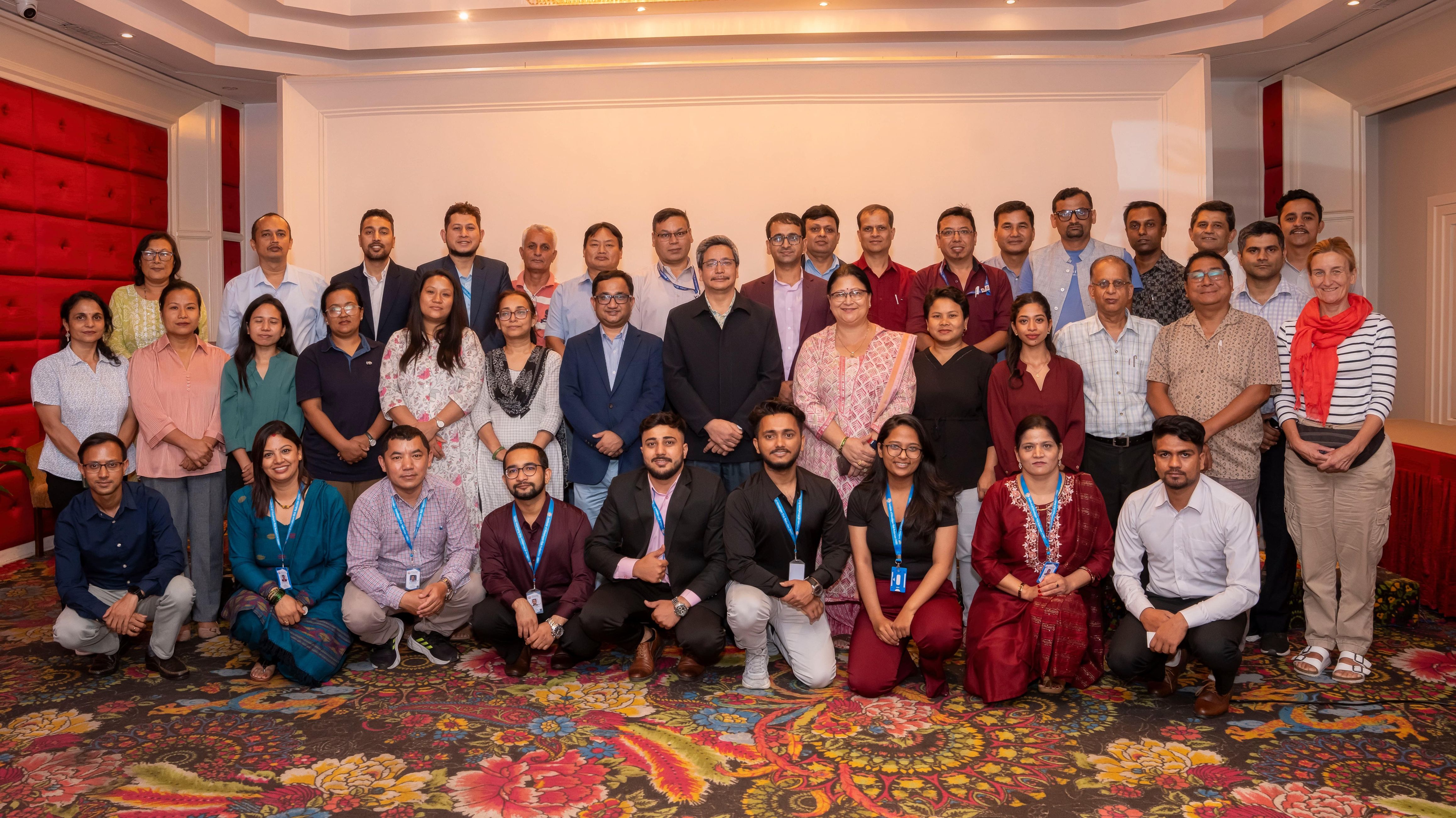
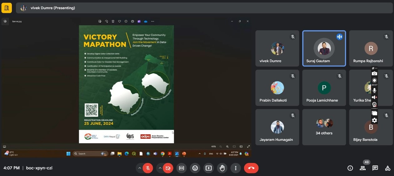
The two-day online mapping training session on June 25 and 26, 2024, kicked off with opening remarks from Er. Suraj Gautam. He emphasized the significance of the event and inspired participants to make meaningful contributions. There were more than 50 participants present during the training session. Guided by Advanced mappers and validators Mr. Vivek Dumre and Mr. Gorakh Nath Pandey, participants gained valuable hands-on experience with mapping tools like iD Editor and JOSM. The participants also gained knowledge of OSM data use cases, data downloading, and future opportunities in open-source mapping initiatives. The training seamlessly combined both theoretical knowledge and practical application, providing a comprehensive learning experience. The mapathon event took place from June 26 to 30, during which participants applied the knowledge gained from the training to add features to OpenStreetMap. Tasks for both municipalities were set up in the tasking manager, where mappers collaborated to map the assigned areas.
ACHIEVEMENTS AND FUTURE PROSPECTS
It wasn't just about adding lines and shapes to a map. It was about the stories behind those lines—the roads that connect communities, the buildings that house families, the waterways that sustain life. As they mapped 8,406 buildings, 415.8 km of roads, 72.18 km² of land use, and 159.3 km of waterways, the participants knew they were contributing to something far greater than a competition. They were creating a resource that could help in planning, development, and disaster response—tools that could save lives and improve livelihoods.
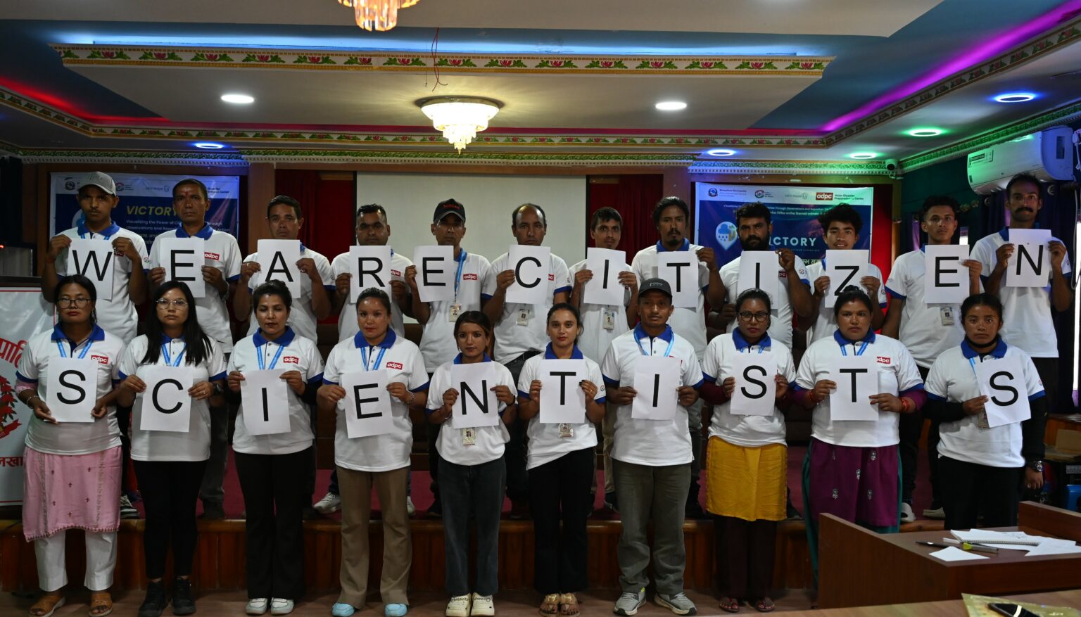
At the close of the Mapathon, the top contributors were honored for their outstanding efforts. The top five mappers: Bimala Sigdel, Kiran Guragain, Harish Joshi, Subash Rimal, and Sushma Magar received certificates and cash prizes, recognizing the quality and quantity of their contributions. The VICTORY Mapathon has laid a strong foundation for future digital mapping efforts. The skills developed and the data generated during this event will continue to drive positive change, supporting better planning and disaster preparedness.