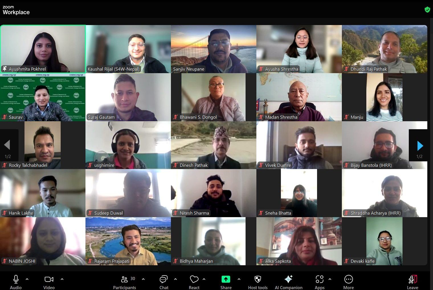

IHRR
Jun 05,2025
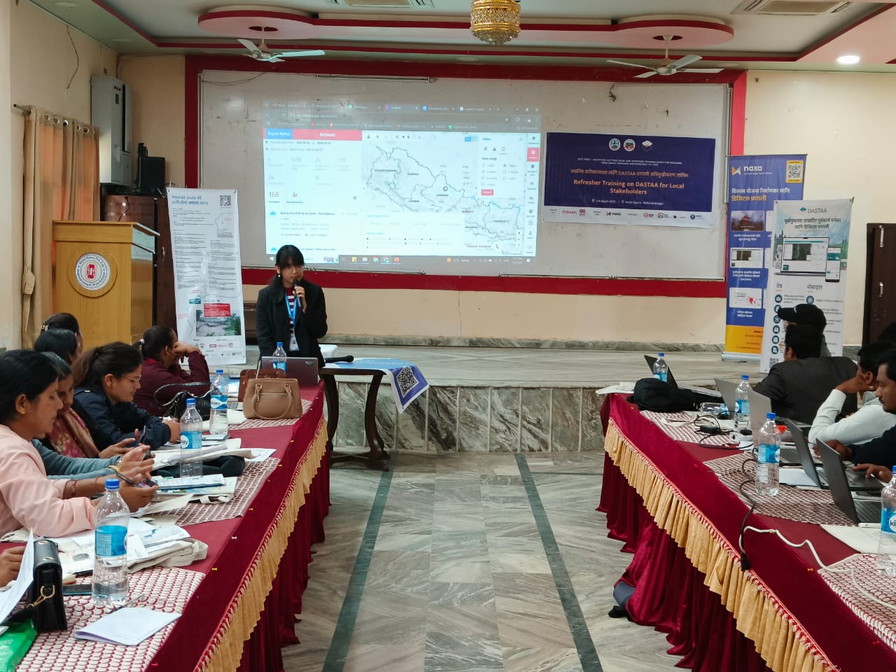
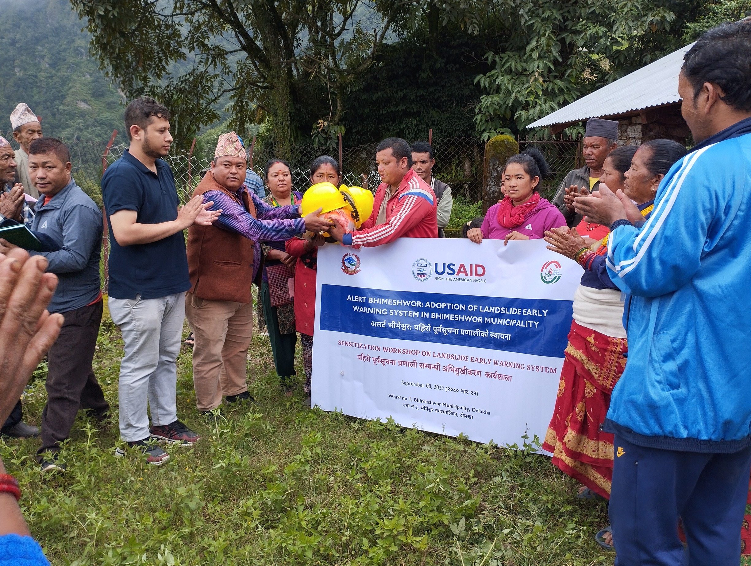
As part of the ongoing efforts under the Women’s Voice in Leadership and Anticipatory Action—Sajag Samaj (SaSa) project, the Institute of Himalayan Risk Reduction (IHRR), in collaboration with Campaign Nepal for Research and Development (CNRD), carried out a five-day field visit to Rajdevi Municipality (Wards 6 and 8) and Durgabhagwati Rural Municipality (Ward 5) in Rautahat District. This field engagement aimed to enhance local capacity in flood preparedness through participatory hazard mapping, community-level coordination, and targeted orientation sessions for data collection.
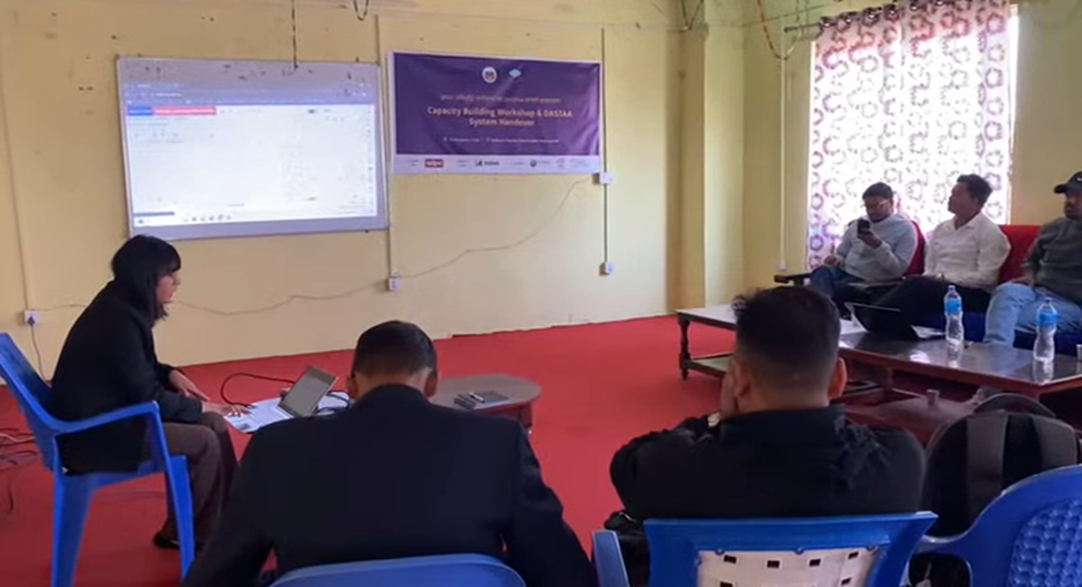
The visit began with an orientation session at the CNRD office on May 25, focusing on five local enumerators. The session provided foundational knowledge on disaster terminologies, the use of Vulnerability and Capacity Assessment (VCA) tools, and emphasized the critical importance of accurate and context-sensitive data collection. A household-level questionnaire was co-developed with the enumerators, targeting issues such as disability inclusion, early warning mechanisms (including SMS alerts), and flood vulnerability. The questionnaire was deployed through the KOBO Toolbox platform, and its design was refined to suit the specific needs of the local communities.
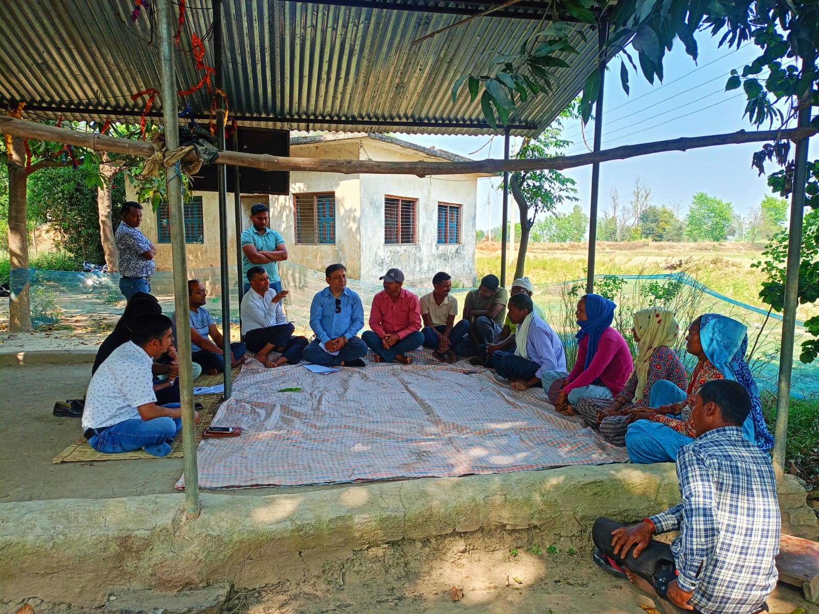
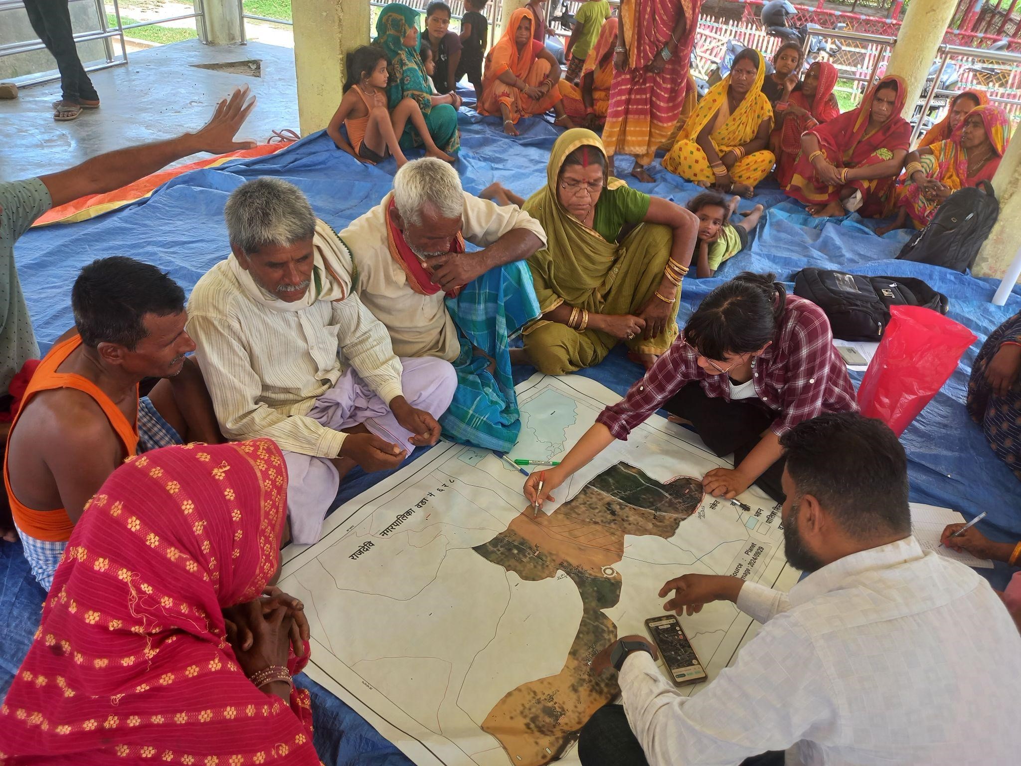
Over the next several days, the field team engaged directly with Community Disaster Management Committees (CDMCs) in Rajdevi and Durgabhagwati. In Rajdevi Wards 6 and 8, CDMC members in Laxmipur and Mathtole participated in participatory flood hazard and capacity mapping. These exercises identified high and medium-risk zones, flood flow paths, safe shelter locations, and community resources. The communities demonstrated a strong understanding of their local flood dynamics—particularly in Mathtole, which is surrounded by water threats from all four sides, including the Jhanjh River to the northeast, Bakaiya to the west, and an Indian embankment to the south. Past events, such as the 2074 embankment breach across the border in India, have caused significant damage in these areas, making preparedness all the more critical.
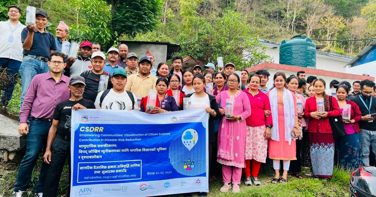
In addition, CDMC members were sensitized on the citizen science approach to flood monitoring. They were oriented on the process of collecting daily rainfall data using low-cost rain gauges and encouraged to engage local youth in this effort. This initiative aims to build a community-based data ecosystem that enhances flood risk awareness and supports early warning systems.
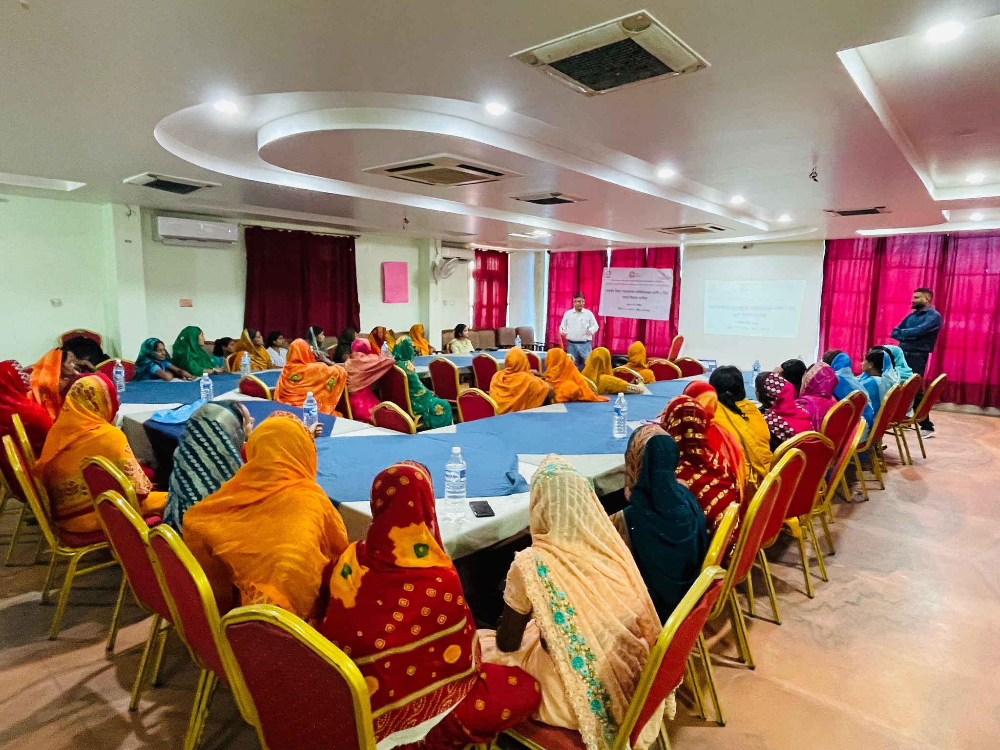
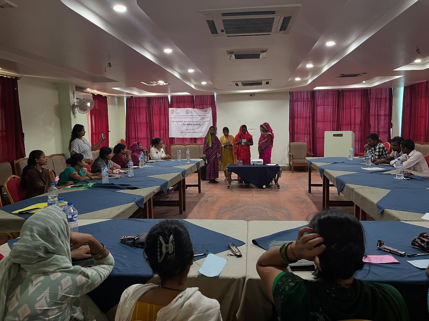
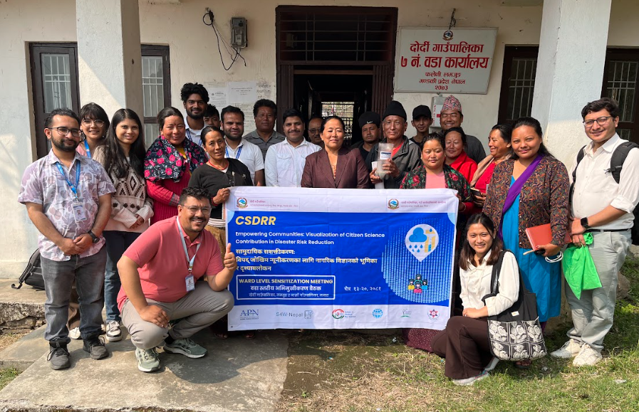
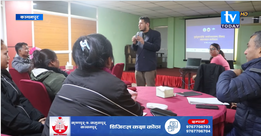
Coordination meetings with the Ward-Level Disaster Management Committees (WDMCs) in both Rajdevi and Durgabhagwati were an essential part of the visit. These meetings included comprehensive presentations on disaster management cycles, project objectives, and the framework of Early Warning and Early Action (EW/EA). Group activities helped local stakeholders collectively list and prioritize actions to be taken before, during, and after flood events. The interactions were dynamic, with local leaders, including the mayor of Rajdevi, expressing appreciation for the initiative and committing to stronger local planning.
Further field visits to CDMCs in Badharwa (Rajdevi-8) and Sedhawa (Durgabhagwati-5) highlighted the unique vulnerabilities of communities situated across the Bagmati River. Access to these areas is solely dependent on boats, which become non-operational during the monsoon season when the river swells dramatically, isolating entire communities. In Durgabhagwati Ward 5, the flood scenario is further complicated by the absence of embankments along the Jhanjh River and the resulting backflow from Bagmati once it overflows. Water from Ramnagar Rural Municipality of Sarlahi also breaches into Ward 5 due to weak embankment infrastructure. At present, early warnings in this area are informal, sometimes announced via microphones by Armed Police Force personnel from neighboring districts—a system that is unreliable and often delayed.
In Rajdevi, the community in Laxmipur responds to floods by moving to multi-storey buildings, whereas Mathtole residents typically take shelter on embankments. The village is considered relatively safer for livestock protection due to its slightly elevated terrain. However, the risk remains severe, especially if the Durbha dam in Sarlahi fails, which would channel water directly into the village. Current flood warnings are largely dependent on police announcements using microphones, which lack reach and timeliness.
This field visit emphasized the critical need for strengthening local early warning systems, improving infrastructure, and empowering communities—especially women and local leaders—to take anticipatory actions. The integration of citizen science tools like community-managed rain gauges and the mobilization of local youth are vital steps toward a more proactive and locally-driven disaster risk management model. The active involvement of CDMC and WDMC members throughout the activities reflected the growing ownership and commitment of local stakeholders. Through initiatives like Sajag Samaj, IHRR and CNRD continue to promote inclusive, participatory, and data-driven approaches to disaster risk reduction, making communities more resilient in the face of increasing climate risks.